WORK EXPERIENCE
resume
Aug 2024 - Dec 2024
InternshipInternship
THAICOM PUBLIC COMPANY LIMITED- Bangkok, Thailand
Using Sentinel-2 data to map forest loss and gain in Northern Thailand from 2020 to 2024, focusing on annual change detection within protected forest areas. The goal is to develop a reliable method for identifying transitions between forest and non-forest areas while understanding the underlying causes of these changes.
May 2023 - Jun 2024
EducationMaster's Remote Sensing Project
LIESMARS Wuhan University- China
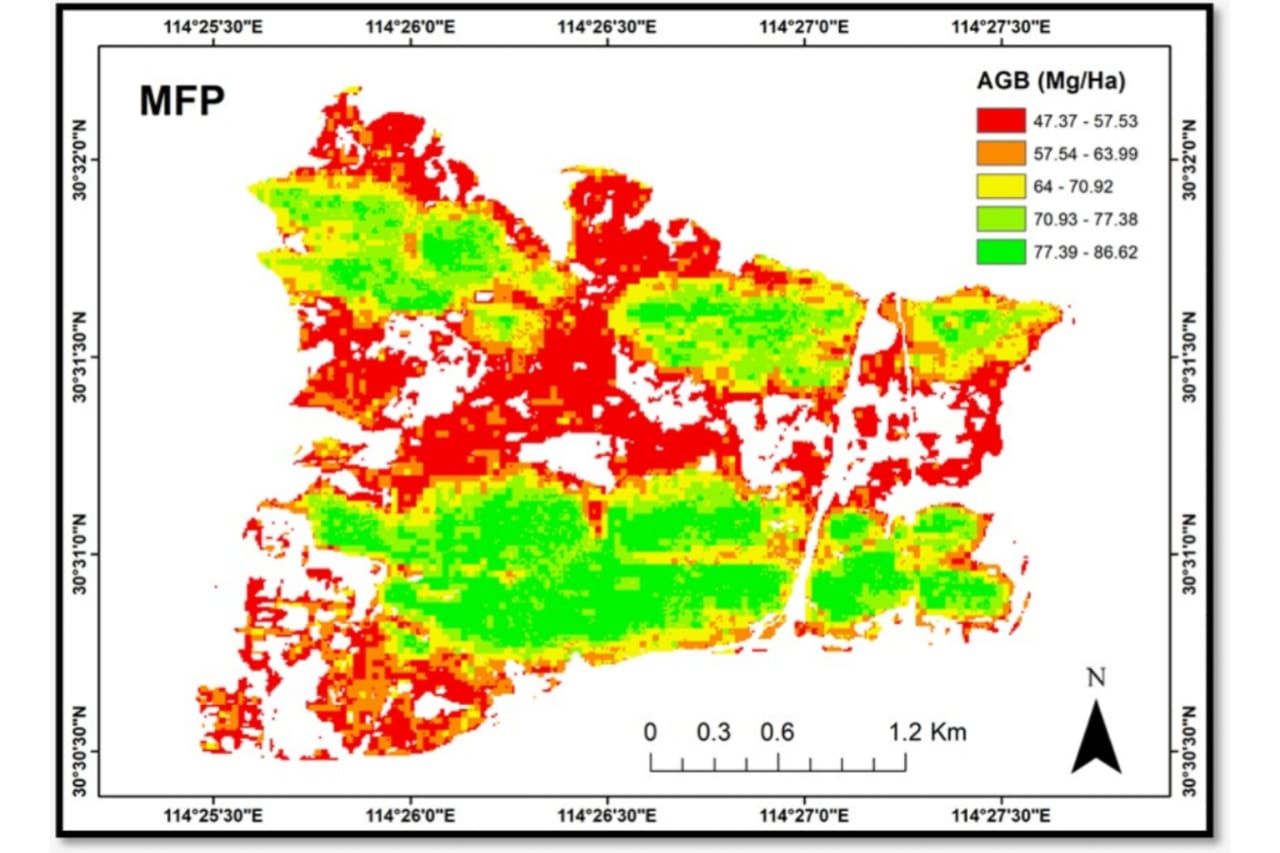
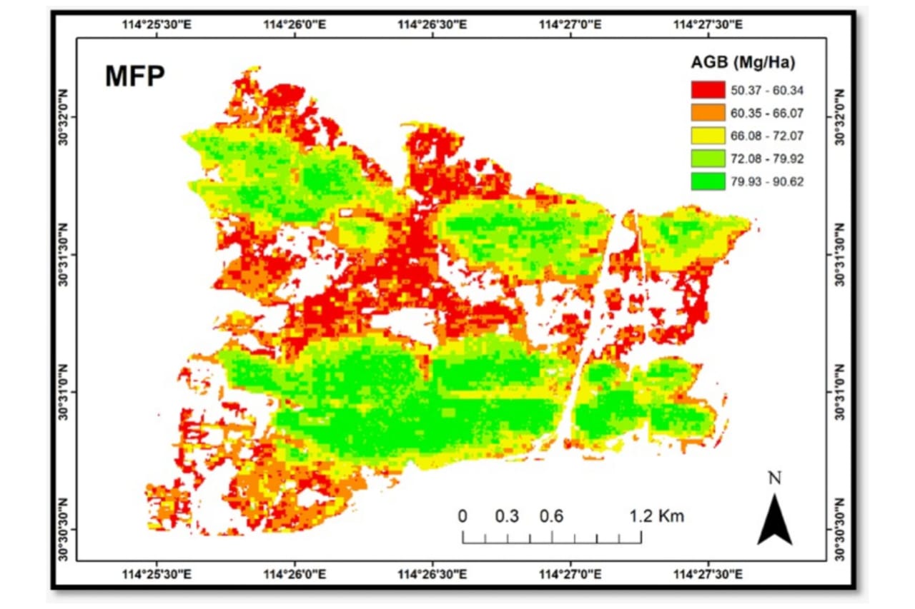
Worked on Forest Above-Ground Biomass estimation, integrating multi-satellite data with ground samples. Utilizing AI/ML/DL techniques to produce precise AGB estimation, contributing to global climate change mitigation efforts and sustainable resource management
May 2023
InternshipInternship
Hi-Target, Guangzhou, China|On-site
I interned at Hi-Target, a leading provider of high-precision surveying and mapping instruments, as part of my master's degree at Wuhan University. I learned about the company's products and their applications, assisted with testing and evaluation, created marketing materials, and participated in customer demonstrations. I am confident that the skills and knowledge that I gained during my internship will be valuable in my future career.
2020-2021
ProjectBachelor's Remote Sensing Project
Bahauddin Zakariya University- Multan
This work is part of my final year volunteer Remote Sensing project. The focus of my work is on to Detect Crop Type using Optical Satellite Data. In Southern Punjab, Pakistan, I have collected fresh crop types data for the 2020/2021 wheat crop season.
Apr 2020-Oct 2020
WorkData Science Intern
Datalya – Toronto based Machine Learning Company, Canada
I have worked on the preprocessing, transformation, and integration of geospatial data sourced from Stats Canada and elsewhere. Also, I built QGIS based visualization around demographic metrics of geospatial data. Additionally, I wrote technical documentation and articles as part of a content development strategy
Aug 2018-Dec 2019
workBusiness Development Manager
REMOTELY360
I worked on geospatial visualization using QGIS, business development strategy and content development with focus on remote sensing topics
Aug 2017-Jun 2018
WorkTechnical Content Creator
Geek Square
Geek Square is a Toronto based computer repair company, which provide services to both residential and business. My role was to re-write content of the entire website and to creating articles-based content for its blog site. Through my work, I was able to significantly increase the visibility and the sales.
March 2024
PublicationMDPI-Remote Sensing
Optical-SAR Data Fusion Based on Simple Layer Stacking and the XGBoost Algorithm to Extract Urban Impervious Surfaces in Global Alpha Cities
This study proposes a fusion approach to enhancing urban remote sensing applications by integrating SAR (Sentinel-1) and optical (Landsat-8) satellite datasets. The fusion technique combines feature-based fusion and simple layer stacking (SLS) to improve the accuracy of urban impervious surface (UIS) extraction. SAR textures and modified indices are used for feature extraction, and classification is performed using the XGBoost machine learning algorithm in Python and Google Earth Engine. The study focuses on four global cities (New York, Paris, Tokyo, and London) with heterogeneous climatic zones and urban dynamics. The proposed method showed significant results. The accuracy assessment using random validation points shows an overall accuracy of 86% for UIS classification with the SLS method, outperforming single-data classification. The proposed approach achieves higher accuracy (86%) compared to three global products (ESA, ESRI, and Dynamic World). New York exhibits the highest overall accuracy at 88%. This fusion approach with the XGBoost classifier holds potential for new applications and insights into UIS mapping, with implications for environmental factors such as land surface temperature, the urban heat island effect, and urban pluvial flooding.
Show PublicationJul 2023
PublicationAmerican Society for Photogrammetry and Remote Sensing
Expansion of Urban Impervious Surfaces in Lahore (1993–2022) Based on Gee and Remote Sensing Data
Impervious surfaces are an essential component of our environment and are mainly triggered by human developments. Rapid urbanization and population expansion have increased Lahore's urban impervious surface area. This research is based on estimating the urban imper- vious surface area ( uisa ) growth from 1993 to 2022. Therefore, we aimed to generate an accurate urban impervious surfaces area map based on Landsat time series data on Google Earth Engine ( gee ). We have used a novel global impervious surface area index ( gisai ) for impervious surface area ( uisa ) extraction. The gisai accomplished significant results, with an average overall accuracy of 90.93% and an average kappa coefficient of 0.78. We also compared the results of gisai with Global Human Settlement Layer-Built and harmonized nighttime light ( ntl ) isa data products. The accuracy assessment and cross-validation of uisa results were performed using ground truth data on ArcGIS and gee. Our research findings revealed that the spatial extent of uisa increased by 198.69 km2 from 1993 to 2022 in Lahore. Additionally, the uisa has increased at an average growth rate of 39.74 km2. The gisai index was highly accurate at extract- ing uisa and can be used for other cities to map impervious surface area growth. This research can help urban planners and policymak- ers to delineate urban development boundaries. Also, there should be controlled urban expansion policies for sustainable metropolis and should use less impermeable materials for future city developments.
Show Publication


